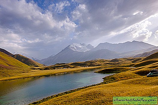
The nature of Kyrgyzstan from a height: Tulpar-Köl
On long winter evenings, when snow falls outside the window, it’s so nice to remember summer adventures! After a long drive from Moscow to Talas and further movement to the south of Kyrgyzstan to the very beginning of the Pamir Highlands, we finally wanted to “slow down” and calmly camp. On the shore of Lake Tulpar-Köl, we spent three days without moving anywhere and only occasionally starting the engine of the car to recharge the batteries. Well, they launched a drone into the sky, of course, since the weather and lighting made it possible!
Weather in the mountains changes very often, literally every few hours. In the morning of a new day, clouds fell.
There was a strong wind, but still I decided to launch the drone. Phantom 4 is not as compact as some other DJI models, but more stable in windy conditions.

Our camp is from above. This place is definitely worth a few days here!

However, the flight did not last long - with the first drops of rain I had to quickly plant a "bird". They didn’t fly that day anymore.

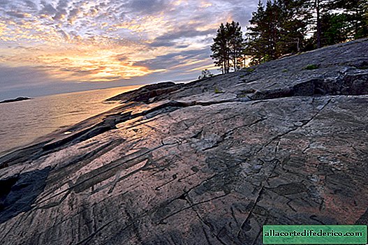
But closer to sunset, we managed to shoot the lake at the “correct” long exposure, when the surface erodes and takes on shades of unreality.

Camp on the third day of parking. It was pretty cool at night, but the autonomous heater perfectly warmed our house. Since there is still some lack of space inside, all the "temporarily unnecessary" things are usually on the street during the day.

And that day was great cloudless weather, so take off!

Iceland? Nooo!

This is Kyrgyzstan! Some unreal combination of colors in sunny weather.

The gorge of the Achik-Tash River, on the other side of which there is a road to the base camp of climbers climbing the Lenin Peak. Most tourists simply pass by, for some reason ignoring such a beautiful place very close to their route.

On the far left you can see the primer to the village of Sary-Mogol, standing on the highway. In 2015, we were here on the defender, I did not want to make a detour to the track, and we decided to "cross" the Achik-Tash river. About a third of this process, I realized that it was an extremely bad idea, especially considering the fact that we traditionally drove by one car. Therefore, I had to urgently turn around right in the middle of the stream of water and still make a detour, and it took about three hours to “cut off” itself, since there was no road in fact, but for some reason it was on my map, and we drove to the very the river is very long. In general, I would not do that anymore. :)

Closer to sunset, the mountains began to transform again.

On the right you can see the same base camp, where we will go the next day. It is located about 200 meters above the lakes, the height there is 3700 meters, if not mistaken. Well, Lenin Peak (7134 meters) is clearly visible directly - one of the highest peaks of the former USSR, located in the Pamir mountain system. I can hardly imagine how amazing the view opens from there in clear weather!

In the distance lies the endless Alai Valley. It’s already twilight on earth, and the last rays have beautifully painted the clouds in orange. As soon as the sun disappeared, the wind immediately intensified and began to cool.

The morning of the next day.

Drone allows you to look at ordinary things from an interesting angle. For example, we wouldn’t notice this “physiognomy” from the ground! :)

However, we were not the only ones with the “flying tool”. Hearing a heavy rumble, I had to push breakfast aside and run out of the camper to the street.

Probably border guards. Who else would dream of flying in these parts by helicopter?

That somehow we remember this place.

The morning was warm and cloudless, but the locals with whom we talked the day before walking to the yurts said that it was literally the last days of summer - the season was ending, and in less than a week there would already be snow here. So we should hurry to the base camp of climbers before the weather starts to deteriorate.


-
20 most interesting adventures of our time
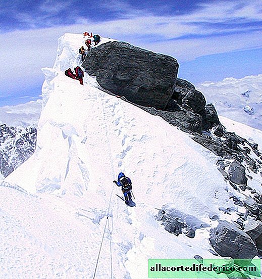
Those who like to feel the adrenaline in their blood and take part in the most risky events with pleasure, which people in their right mind just dare not, will appreciate this selection of the most amazing and interesting adventures. Climbing Everest, the highest peak of the Earth When, in 1953, Edmund Hillary and Tenzing Norgay proved by personal experience that it is possible to climb Mount Everest, every climber of that time showed interest in this peak. ... -

-
-